|

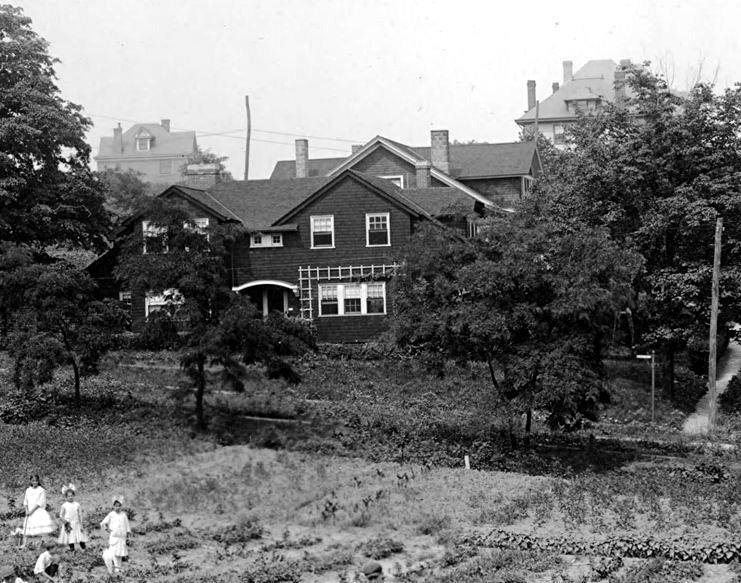
Students from Brookline Elementary work
in the school garden,
located between Rossmore and Gallion Avenues, in 1916.
During recess, they grew produce for lunches. The excess was
donated to food kitchens or sold to local merchants.
Brookline was the first Pittsburgh public school to have a garden.
The practice soon spread throughout the city.
Into the 1950s, schools like Brookline and West Liberty Elementary
still had student maintained gardens.
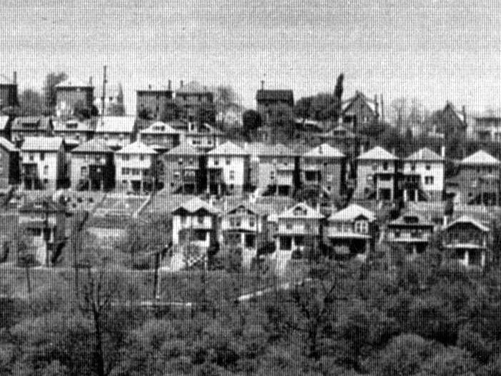
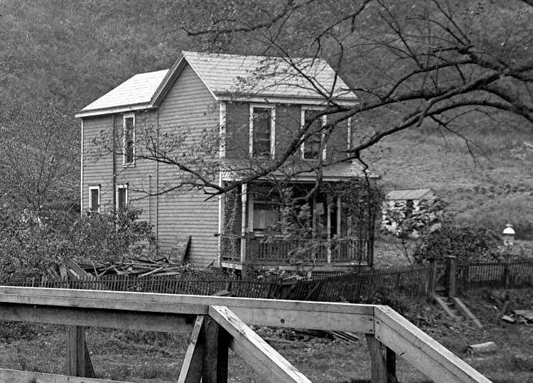
Residential development began to take
hold in Brookline in the early 1900s. The first housing plans were the
Fleming Place Plan, the Hughey Farms Plan and the Paul Place Plan. By the
1920s the neighborhood had grown considerably, and the need for better
infrastructure and roads led the city to embark upon a massive project
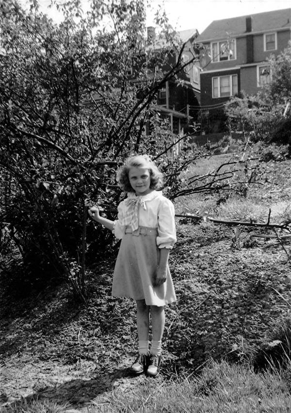
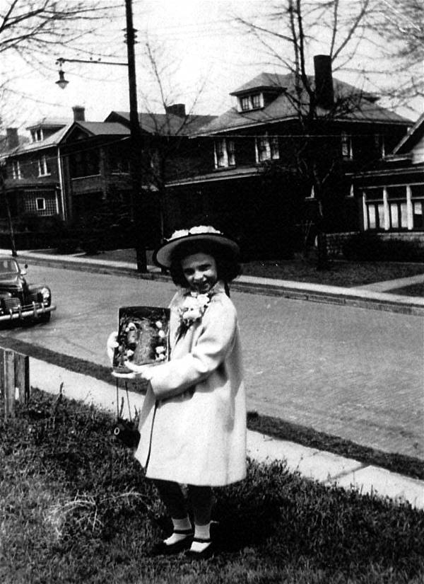
to upgrade it's outlying communities. Shown here are a random collection of
images showing street scenes throughout Brookline over the past
century.
Click on images
for larger pictures
♦ Brookline Random Street Scenes
(Gallion to Woodward) ♦

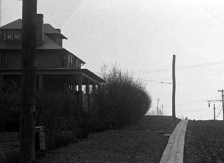
Aidyl Avenue
 
Homes along Aidyl Avenue in 1935. The picture on
the left shows the Advent Episcopal Church and the
home of Lydia Fleming. The photo on the right shows the Fleming estate,
which sits on the land
that is now the site of St. Pius X Church and Brookline Regional Catholic
School.
The old spire on the Advent Episcopal Church has since been removed.

A view of homes along Aidyl Avenue, taken from
Vodelli Street in Beechview, in 1921. Also visible are homes along
Pioneer Avenue and the Fleming Estate to the right. The Fleming's once owned all
of this land. The Oyer estate
is at the bottom left, and above the home stands the small shed at the
39-Brookline Fleming Car Stop.
Altaview Avenue

The Mackowicks, standing in the foundation of their
new home at 2213 Altaview Avenue.
Shown here are Mrs. Mackowick holding her son Paul, son Frankie and daughters Carol and
Judy.
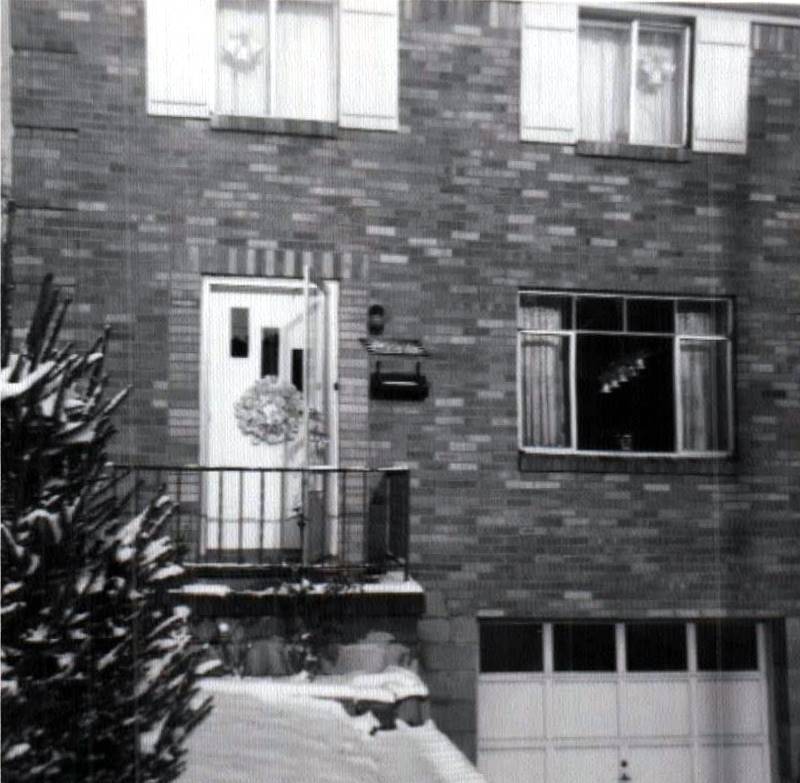
Altmar Street

Gary Weslager, third from left, and friends
bicycling on Altmar Street (circa 1952).
 
Gary Weslager stands next to his father's 1948
Nash on Altmar Street in 1953 (left) and the new family Plymouth in 1954.

Gary Weslager on his bicycle outside his home
at 2002 Altmar Street on July 4, 1952.
 
Looking towards Brookline Boulevard from 2200 Altmar
Street (left), and the Weslager's new 1957 Plymouth, in 1956.
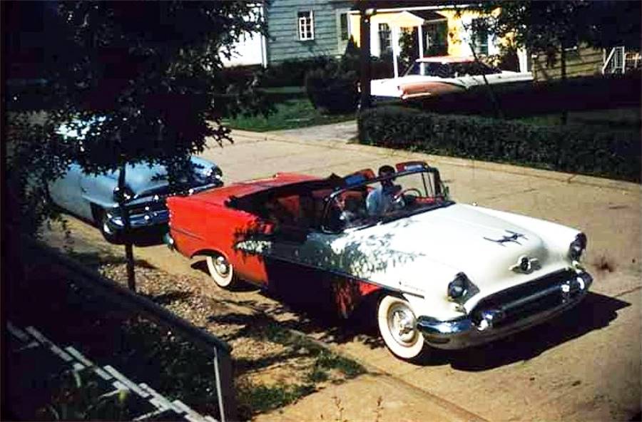
A red and white Oldsmobile convertible on Altmar
Street in 1957.
 
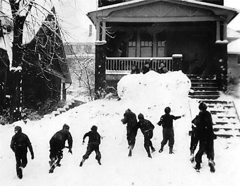
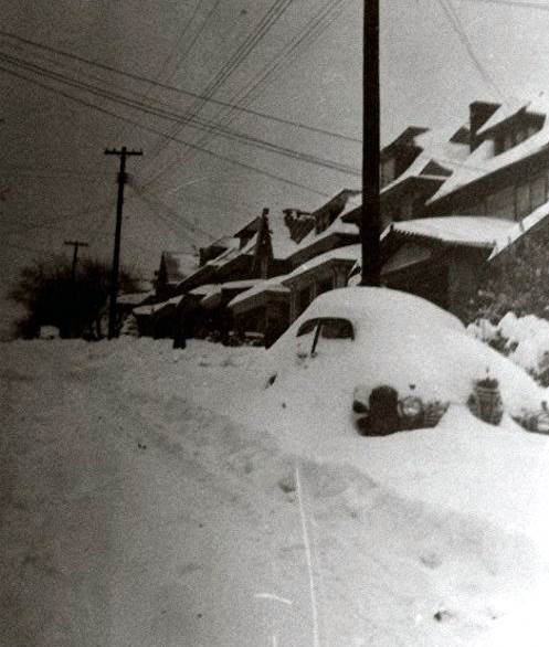
A snowy day on Altmar Street in
1961.

A snowy day on Altmar Street in
1961.
 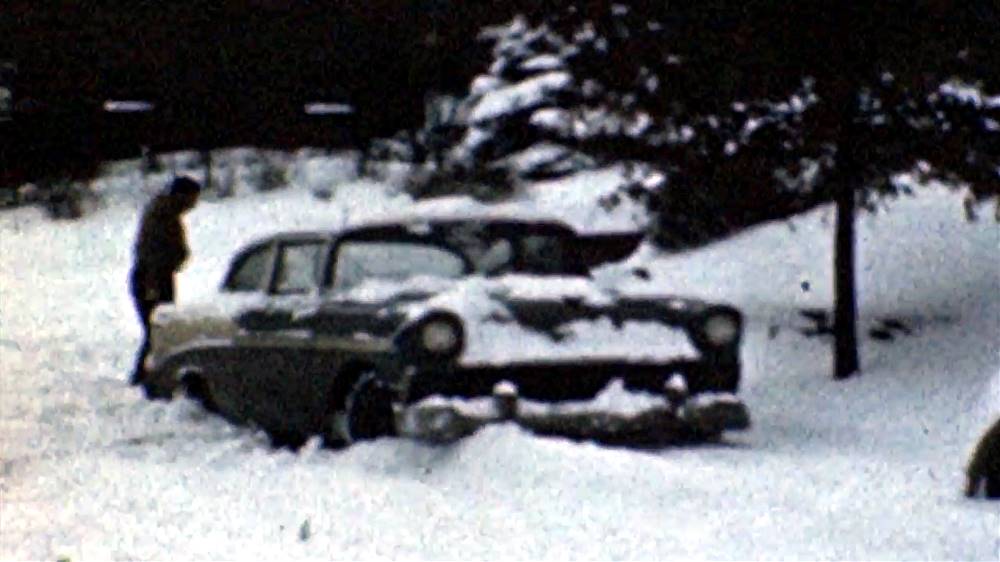
A snowy day on Altmar Street in
1961.
Short Video Clip of a Snowy Day on Altmar Street
- 1961
Amman Street
 
Homes along Amman Street, as viewed from
West Liberty Avenue in 1916 (left), and from Pioneer Avenue in 1935.
Bay Ridge Avenue

Homes along Bay Ridge Avenue, between Queensboro
and Stebbins Avenues, in 1924.
Bay Ridge Avenue northwest of Stebbins Avenue
(left), and between Queensboro and Stebbins (right), in 1924.
 
Two views of homes at the intersection of
Bay Ridge Avenue and Stebbins Avenue in 1924.
A woman watches two children at play from her back porch in the photo to the
right.
Bay Ridge Avenue northwest of Stebbins (left),
and between Queensboro and Stebbins (right), in 1924.
Two views of Bay Ridge Avenue, looking
northwest towards the intersection with Stebbins Avenue, in 1924.
Homes along Bay Ridge Avenue, northwest of
Stebbins Avenue, in 1924.
Bay Ridge Avenue, looking towards Stebbins
Avenue (left) and Castlegate Avenue (right), in 1924.
 
An automobile (left) and a yellow cab (right)
are parked opposite the home at 738 Bay Ridge Avenue in 1950.

Pittsburgh firefighter Larry Delaney
on Bay Ridge Avenue in 1950.
Beaufort Avenue

A homemade ice skating rink in the backyard
of Walt Speicher's home at 2324 Beaufort Avenue in the early-1960s.
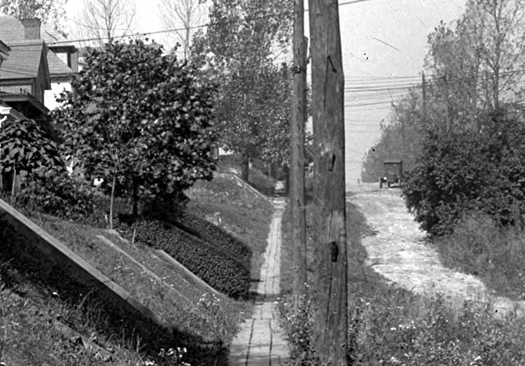
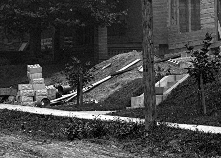
A home on the corner of Beaufort Avenue and
Gallion Avenue (left), and Beaufort rising from Gallion, in 1916.
The children to the left are standing in the Brookline Elementary School
garden.
Kids having a snowball battle in the front
yard at 2414 Beaufort Avenue in 1940.
 
A Beaufort Avenue home on the corner of
Gallion Avenue (left) in 1916, and another near Metz Way in 1924.

Mike O'Toole and his dog Boots go for a ride
on the Beaufort Avenue circle in 1970.
For an interesting site with
memories of the Berwin-Beaufort-Birtley area from the 1940s,
visit The Short Cut, a page built by friends from that section
of Brookline.
Bellaire Avenue
Homes along Bellaire Avenue, near the intersection
with Flatbush (left), in 1916, and a view
of the 1000 block of Bellaire Avenue, as seen from Creedmoor Avenue,
in 1919.

Bellaire Avenue, at the intersection with Whited
Street, in 1927.
 
Having fun in the snow along the 800 block
of Bellaire Avenue in 1938.

A snowy scene on Bellaire Avenue, looking
towards Flatbush in 1938.
 
A snow covered vehicle on the 800 block of
Bellaire Avenue in 1938 (left); Jimmy Sheridan, Alex
Hogel, Tommy Sheridan, Jimmy Barth and Tommy Walsh on the 1100 block of
Bellaire Avenue
in the late-1950s playing Cops and Robbers. The merry bunch stopped for this
photo.
 
Deer out for a stroll on the 500 block of
Bellaire Avenue in 2015 (left) and the
home on the corner of Bellaire and Pioneer Avenues in 2017.
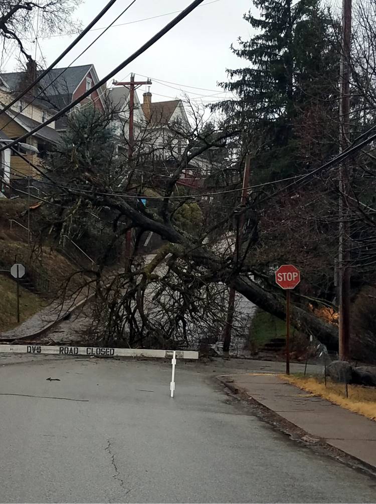
A tree is down at the corner of Bellaire Avenue
and Starkamp Street on February 18, 2021.
Bellaire Place

A 1926 look at the lower end of Brookline
Boulevard, taken from Whited Street, looking east towards Breining Street,
with a view of Bellaire Place in the foreground. Homes along
Oakridge Street can be seen in the distance.
 
Young Danny McGibbeny and a friend outside his
new home at 1322 Bellaire Place in July 1953.
Kids gather around Elva McGibbeny in her front
yard at 1322 Bellaire Place in July 1953 (left),
and a gaggle of street-wise youngsters pose for posterity in the fall of
1955.
 
Two views of Bellaire Place with Patricia (left) and
Elva McGibbeny, at the intersection with Birchland Street, in 1957.
 
Dan, Elva and Patricia McGibbeny with Danny
McGibbeny in April 1959 prior to First Communion.

The McGibbeny family of 1322 Bellaire
Place. Mae Ferns, Elva, Danny and Patricia McGibbeny,
Gerald Burton and Chuck Meyers. Dan McGibbeny took this photo in May 1960.

Ray Miller and Danny McGibbeny in the
front yard of 1322 Bellaire Place - 1961.

A man and woman head towards a 1962 Mercury Comet
outside the home at 1631 Bellaire Place (with green/white awning).
This is down past the Greencrest Drive intersection beginning down hill. The homes
in the distance are in Carrick.
 
Homes at 1322 and 1320 Bellaire Place (left),
and winter sledding at Bellaire Place and Birchland Street, in 1965.
 
Three kids in the front yard of 1322 Bellaire
Place in 1959 (left) and children with their dogs in the backyard in 1972.

For a few years a prank pulled by local kids at
1322 Bellaire Place on Halloween night. This is November 1, 1972.

Sunrise photo taken at the intersection of
Bellaire Place and Birchland Street, October 29, 2022.
Belle Isle Avenue
A wagon stands at the intersection of West
Liberty Avenue and Belle Isle Avenue (left) and Belle Isle homes in 1915.

The Belle Isle Avenue steps looking from
Plainview Avenue up towards Pioneer Avenue in September 18, 1934.
Berkshire Avenue
A view of Berkshire Avenue, from Castlegate
Avenue (left), and a man doing yard work in 1923.
 
Homes along Berkshire Avenue near Stebbins
Avenue in 1923 (left), and near Freedom Avenue in 1924.
 
A view of Berkshire Avenue looking towards
Oakridge Street (left), and at the intersection with Sussex Avenue, in 1924.
Homes along Berkshire Avenue, between Freedom
Avenue and Oakridge Street, in 1924.
 
Berkshire Avenue homes, near the intersection
with Freedom Avenue, in 1924.
 
The brick roadway along Berkshire Avenue, shown
here in 1923, was built to stand the test of time.
 
Both sides of the Berkshire Avenue sidewalk,
as seen from Castlegate Avenue, in 1923.
New home construction (left) and a vintage
automobile parked in front of a Berkshire Avenue home, near Sussex, in 1924.
 
The signpost at Berkshire and Pioneer Avenues in
1916 (left) and a vintage automobile near Freedom Avenue in 1924.

Looking northwest along Berkshire Avenue from
the intersection with Freedom Avenue on June 17, 1931.
Note that the Freedom street sign is misspelled, saying "Freedon."

Berkshire Avenue homes above Woodbourne Avenue
roofs as seen from Lariat Way on August 14, 1934."
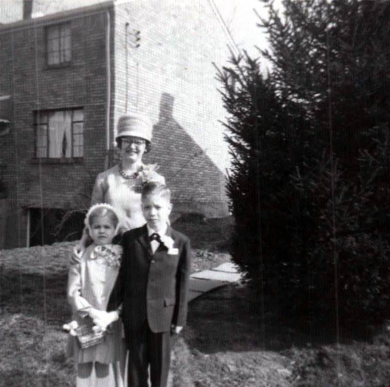
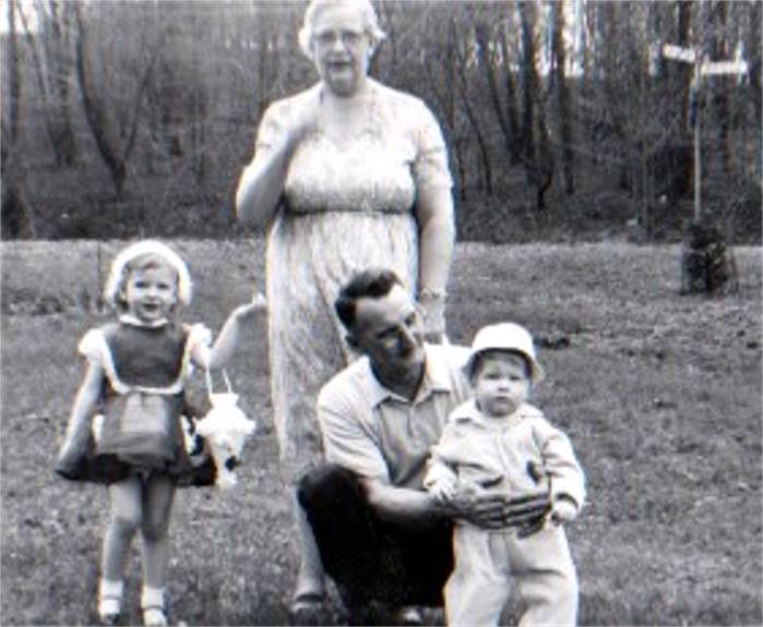
Ginger O'Connor with her father Thomas in 1946
(left) and in the backyard of 550 Berkshire Avenue on Halloween 1947.
 
Patty Payne and Ginger O'Connor playing in the
backyard of 550 Berkshire Avenue in 1947.
Ginger O'Connor with her mother Doris in 1947
(left) and in the backyard of 550 Berkshire Avenue on Easter 1948.
 
Ginger O'Connor and grandfather Arthur T.
Poulton in the backyard at 550 Berkshire Avenue in 1949.
Ginger and Doris O'Connor outside their home
at 550 Berkshire Avenue on Easter 1950.
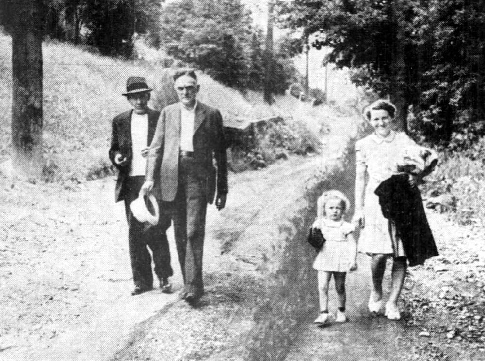
Berwin Avenue
A view of Berwin, Beaufort and Wolford Avenues,
as seen from Rossmore Avenue, in 1925 (left), and Don Sayenga
pulls his sister Carol in a wagon in front of 506 Berwin Avenue, near
the intersection with Birtley Avenue in 1939.
 
Rich and Jane Cummings, of 721 Berwin Avenue,
with their son Richard in July 1959.
 
The backyard at 721 Berwin Avenue (left) in
May 1960, and a view of Berwin Avenue from the front
door in December 1961. The view is towards Wolford Avenue at the
top of the hill.
The Cummings' home at 721 Berwin Avenue in
December 1961. Looks like a White Christmas!
 
Rich Cummings of 721 Berwin Avenue with children
Lanoma and Richard on Easter Sunday 1962 (left),
and Rich leaning on his 1956 Chevy in October 1963.
 
Youngsters Richard Cummings and Michael Gilfoyle
outside 721 Berwin Avenue in October 1963 (left)
while Rich Cummings talks with neighbor Lou Wuenstal on that sunny autumn
afternoon.
Jane Cummings with her children Lanoma and Richard
on Easter Sunday 1967.
 
The view from 721 Berwin Avenue, looking towards
Wolford Avenue, in the late-1960s (left)
and Ken Zebrouvis, a neighbor who lived three houses down the street.
Birchland Street
 
Sled riding on Birchland Street in 1965.
Birchland is one of Brookline's best winter wonderlands.
 
Birchland Street covered in snow in both
2012 (left) and 2017.
Birtley Avenue

Birtley Avenue after a snowstorm in
January 2021.
Bodkin Street
 
Two views of a home at the corner of Bodkin
Street and Shawhan Avenue in 1935. To the right, construction workers
are building the retaining wall that currently separates Bodkin from the
Pioneer/Boulevard intersection.
 
Two views of the intersection of Bodkin
Street and Shawhan Avenue in 1935. Prior to that year, Bodkin Street
was designated as the lower end of Brookline Boulevard. This section
of the boulevard was rerouted in 1935.
The original St. Mark's Church (built in 1907) stands across from Shawhan
in the photo to the left.
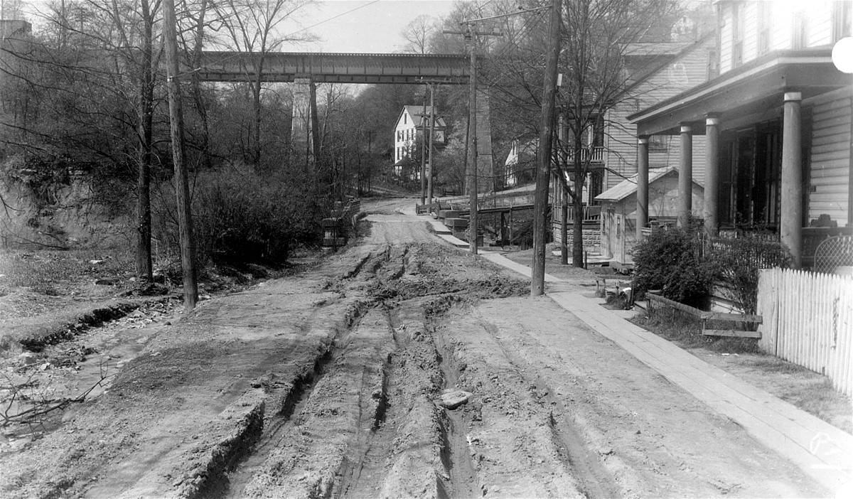
Breining Street

Breining Street, looking from Eben towards
Carmalt School on October 22, 1944. Parents were petitioning
the city for construction of a sidewalk to improve safety for the walking school
kids. This
pedestrian safety issue would not be addressed for another fourteen years.

The same stretch of Breining Street as shown above,
in 1953. The street was widened and improved in 1958.
 
Breining Street under construction, looking from
Brookline Boulevard (left) and from Clippert Way, in the summer of 1958.
Briggs Street

The only known photo of the Brookline portion
of Briggs Street, on a cold winter evening (circa 1975).
This view is looking from Daleview Street up the hill towards Breining
Street.
Brookline Boulevard
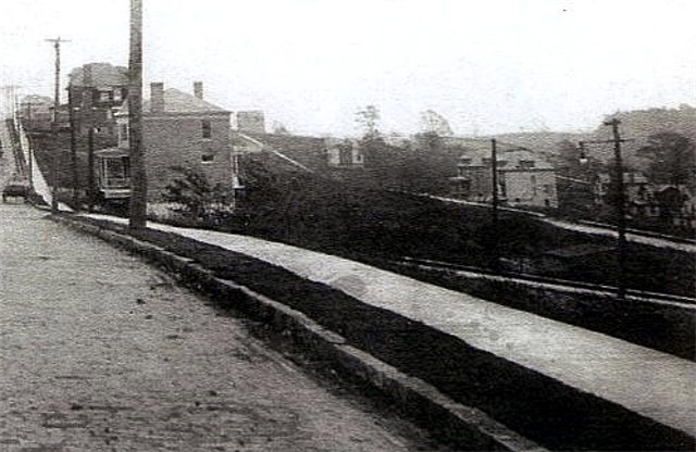 
The Brookline Boulevard sidewalk approaching
Queensboro Avenue in 1910 (left). At this point in time there are no
buildings to the left, just a hillside leading to the alley. On the right
are homes near Flatbush Avenue in 1916.
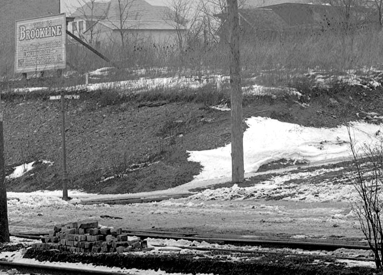 
The intersection of Brookline Boulevard and
Flatbush Avenue (left), with a 1916 Freehold Real Estate billboard
announcing "This is Brookline." On the right is a new home across from
Stebbins Avenue, also in 1916.
 
Reisacher's Market at 804 Brookline Boulevard
(left) F.J. Tepper's Confectionery at 946 Brookline Boulevard and in 1933.
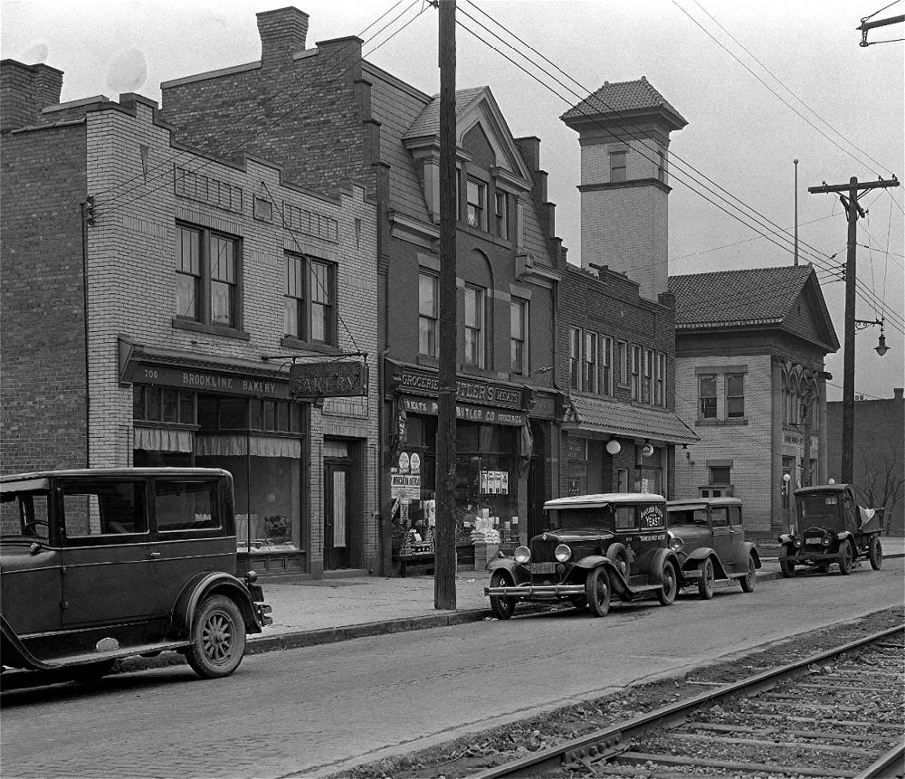
Brookline Bakery, Butler's Meat Market,
Mother's Dairy and Engine House #57 at Castlegate Avenue in 1933.
 
Model Barber Shop, Roth's Beauty Shop and Clover
Farm Stores (left); A&P Market and Smith & Mott Insurance Agency in 1933.
 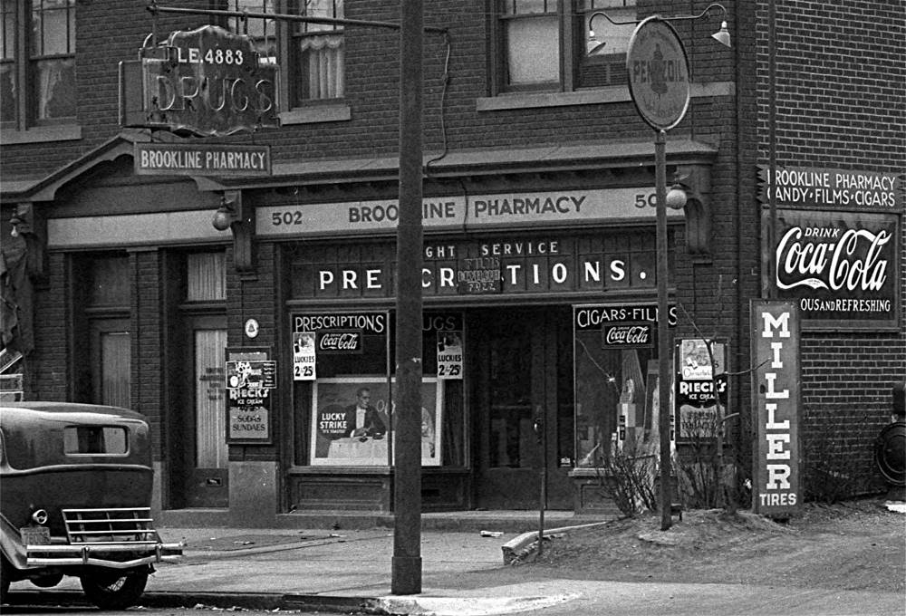
Stores on the 700/800 block (left) and
Brookline Pharmacy at 502 Brookline Boulevard in 1933.
 
Homes along the Brookline Boulevard loop, at the
Kenilworth Avenue intersection, in 1935.
More Random Images of Brookline Boulevard
Cadet Avenue
Two views of homes along the original section
of Cadet Avenue, along Timberland Avenue above Saw Mill Run, in 1909.
A child sits outside the front yard fence of a
Cadet Avenue home, with a view of the Saw Mill Run corridor (left),
in 1909, and a view of Cadet Avenue homes on top of the hillside, as seen from
Saw Mill Run Road, in 1925.

1930 photo showing Cadet Avenue homes, in the
distance, and a wooden pedestrian bridge connecting them a walking
path leading to Pioneer Avenue. The ravine would soon be filled and
the roadway extended to Pioneer.

Cadet Avenue, approaching Pioneer Avenue, in 1930.
The home to the left belonged to William Lang.

Cadet Avenue, approaching Pioneer Avenue, in 1930.
In the distance is the West Liberty Lumber Company,
along West Liberty Avenue, the Palm Garden trestle and Palm Garden dance hall.

The home of William Lang, standing at the corner
of Cadet and Pioneer Avenue, shown here in 1930.
Capital Avenue

The lower bend along Capital Avenue on
January 22, 1959.

Pat's Pizzaria at 103 Capital Avenue, circa
1967.

The lower end of Capital Avenue
in 1970.

The lower end of Capital Avenue at West Liberty
Avenue in 2020. The building housing Fiori's Pizzaria, established in 1979,
was built in 1912 and was the site of a pharmacy and a grocery
market before being converted into a pizza parlor.
Chelton Avenue
 
A view of Chelton Avenue, and the Queensboro
Avenue intersection (left), in 1910, and an ivy covered home at the
intersection of Chelton and Freedom Avenue in 1924. Note the empty lots and lack
of trees
along Chelton, and also the newly installed concrete sidewalks and brick
paving.

Looking along Chelton Avenue from the
intersection with Brookline Boulevard in 1926.

Chelton Avenue looking towards Queensboro
Avenue and Brookline Boulevard on August 15, 1933.

Children gather around a traveling
Merry-Go-Round on Chelton Avenue in 1946.
Two views of Chelton Avenue after the Thanksgiving
Day Blizzard of 1950.

The home at 1136 Chelton Avenue, at the corner
with Oakridge Street, in the early-1950s.
Several generations of the Mullen family were raised in this home.
Creedmoor Avenue
 
Homes near the corner of Brookline Boulevard
and Creedmoor Avenue (left), and next to Resurrection Church/School,
in 1919. The home on the right was used by the nuns who taught at the school
and was razed in 1957.
 
Two homes on Creedmoor Avenue, across from
Resurrection Church/School, that served as residences for the nuns (left),
and the intersection of Creedmoor Avenue and Oakridge Street, in 1919.
The homes on the left were razed in 1957.
 
Two views of Creedmoor Avenue, looking
from Oakridge Street towards Clippert Avenue, in 1919.
 
Homes along Creedmoor Avenue, near the Oakridge
Street intersection, in 1919.
 
Homes along Creedmoor Avenue, between Oakridge
Street and Freedom Avenue, in 1919.
 
A view from Clippert Avenue to Brookline
Boulevard (left), and a signpost at the Oakridge Street intersection, in 1919.
A view of two front porches along Creedmoor
Avenue in 1919.
A view of two front porches along Creedmoor
Avenue in 1919.
A view of two front porches along Creedmoor
Avenue in 1919.
 
A view of two front porches along Creedmoor
Avenue in 1919.
 
The homes at the intersection of Creedmoor
Avenue and Oakridge Street, as seen from Chelton Avenue, in 1919.
 
Standing along the 1100 block of Creedmoor Avenue,
looking towards the intersection
with Oakridge Street (left) and Resurrection Church/School in 1924.

Icy road conditions led to this three-car accident
on Creedmoor Avenue, near Hobson, on December 18, 2022.

A lemonade stand outside 1501 Creedmoor Avenue, on
June 26, 2024.
Daleview Street
 
This home at 82 Daleview Street was one
of six built in the Brookdale subdivision that are no longer standing.
Owned by the Aul family, this home was built by Elmer Hadley in 1941 and
razed by the city in 1985.

Sally Hadley outside her home at 82 Daleview
Street in 1947.
Elmer and Nettie Hadley with granddaughter
Robin in 1958 (left) and with Robin and Robert in 1960.
The signpost in the background is the intersection of Briggs Street and Daleview
Street.
 
Sally Hadley-Aul in the early-1970s at 82 Daleview
Street and Randy Aul at the corner of Daleview and Briggs in 1979.
Dream Street

A car parked outside 1517 Dream Street.
This 1956 image was captured by renowned photographer W. Eugene Smith.
This picture inspired the title of his photo documentary book
"Dream Street - The Pittsburgh Project".
Today, Dream Street is a paper street located near the lower end of Edgebrook
Avenue.
Dunster Street
 
Billy Baumiller outside his home at 822 Dunster
Street in 1953 (left); Roy Harper and Lisa Getts
outside their home along the 800 block of Dunster street in 1958.
 > >
Mary Baumiller and her children behind her
home at 822 Dunster Street in 1956.
 
Sledding behind 822 Dunster Street in 1959
(left) in 1959 and the Baumiller boys in 1960.
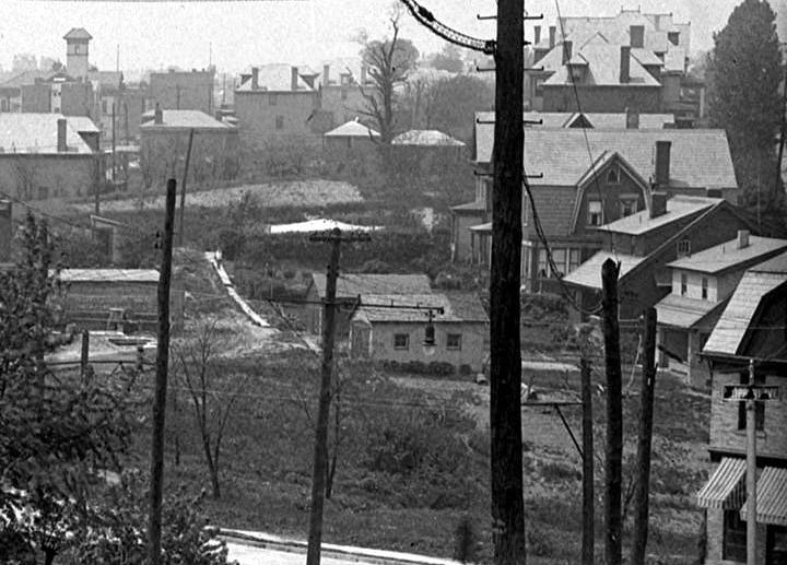
East Brookline
 
The Anderson farmhouse (left) and homes along
Brookline Boulevard, Bellaire Place and Milan Avenue in 1936.
A view of homes along Brookline Boulevard,
Bellaire Place and Milan Avenue in 1936.
Eathan Avenue
 
Eathan Avenue at Metz Way (left) and looking
towards Wolford Avenue, circa 1965.
Eben Street

Pittsburgh Sun-Telegraph advertisement -
September 10, 1950.
Edgebrook Avenue
Edgebrook Avenue on April 30, 1929 (left), looking
from beyond the planned new Saw Mill Run Boulevard towards Brookline.
The new boulevard would pass directly between the two homes where the shed
stands. A cement mixer was installed
during the project. Aggregate was dumped straight from rail cars into the mixer.
The product was then moved
via small-gauge rail where needed. The mixer was used during the Phase One
of the construction project.
Mrs Betty Malloy and her daughter, Janet,
of 469 Ferncliff Avenue, were escorted by plain clothes policemen as they
walked along Edgebrook Avenue. The police protection was due to the reign of
terror by the Blue-Hooded Bandit.

The 2400 block of Edgebrook Avenue on a
snowy day in 1956.
 
The home at 2511 Edgebrook Avenue (left) and
Bob Daley standing by Joe Hogel's Chrysler on April 16, 1962.
Fleming Car Stop
 
The Fleming Place Plan was built in the early
1900s, one of the first housing developments in Brookline. The Fleming
Car Stop was an important feature of the housing plan, providing quick access to
reliable public transportation.
The streetcar stop is shown in 1921 (left) and in 1935 (right). In the first
photo it is the small shed in
the center. Installed in 1905, the 39-Brookline rail line looped up and
through the homes to the left.
Fordham Avenue
 
A view of homes along Fordham Avenue,
near Midland Avenue, in 1921.
 
The home at the corner of Castlegate Avenue
(left), and looking at Fordham homes from Pioneer Avenue, in 1921.
 
Homes between Pioneer and Midland Avenues (left),
and the crest of the hill leading to Pioneer Avenue, in 1921.
In the photo on the right a young girl is looking across the street at a
baby sitting on the walking boards.
 
Fordham Avenue homes near the Pioneer
Avenue intersection (left), and the Midland Avenue intersection, in 1921.
 
Looking towards Queensboro Avenue (left), and
two homes at the intersection with Stebbins Avenue, in 1921.
Homes between Pioneer Avenue and Midland (left),
and a view looking up Fordham from Pioneer, in 1921.
 
The home at the intersection with Midland Avenue
(left), and a view of Clemesha Avenue backyards, in 1921.
 
Walking board sidewalks were commonplace
along Fordham Avenue in 1921.
Fordham Avenue homes near Stebbins Avenue
(left), and Pioneer Avenue (right), in 1921.
 
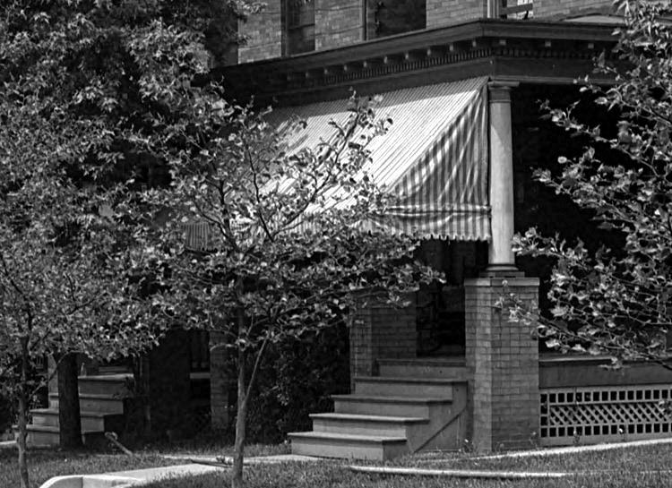
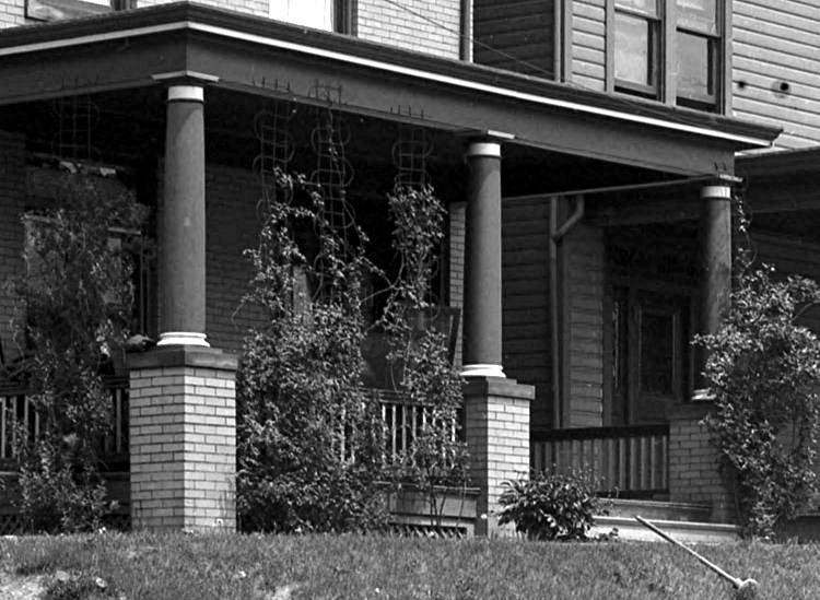
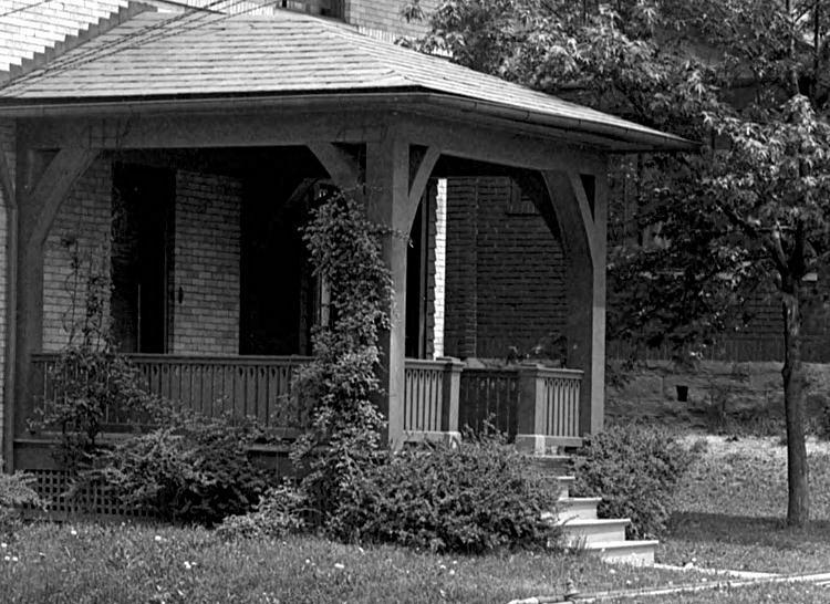
A view of front porches along Fordham
Avenue in 1921.
A view of front porches along Fordham
Avenue in 1921
 
The front porch at 520 Fordham Avenue (left),
and the board sidewalk at the Stebbins Avenue intersection, in 1921.
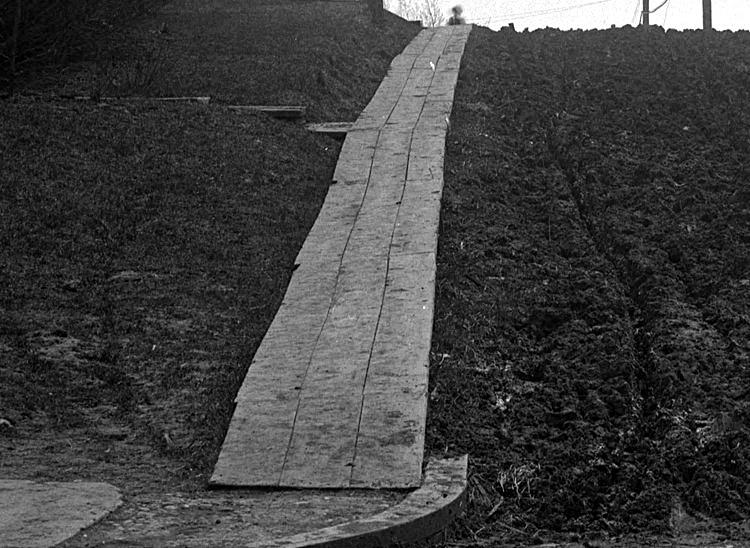 
Walking boards lead up Fordham from Pioneer
Avenue (left), and a view towards Queensboro Avenue, in 1921.

The rear of the home at the corner of Fordham
and Queensboro Avenues on June 17, 1931.
Larry and Ray Voith at
936 Fordham Avenue - 1945.
 
Getting ready to attend Ginny Voiths baptism in
1953 (left) and Mary Ann Voith First Communion in 1954.

The Voith home at 936 Fordham Avenue
in 1958.
 
Barbara Walsh, Cathy and Ginny Voith playing
on the 900 block of Fordham Avenue in 1959 (left) and
Larry Voith shoveling snow outside his home at 936 Fordham in 1964.

Hal Jenkins, Larry Voith, Ray Voith and George
Geanapolis standing outside 936 Fordham Avenue in the Spring of 1950.
The reason for the gathering of friends is Ray Voith's First Holy Communion.
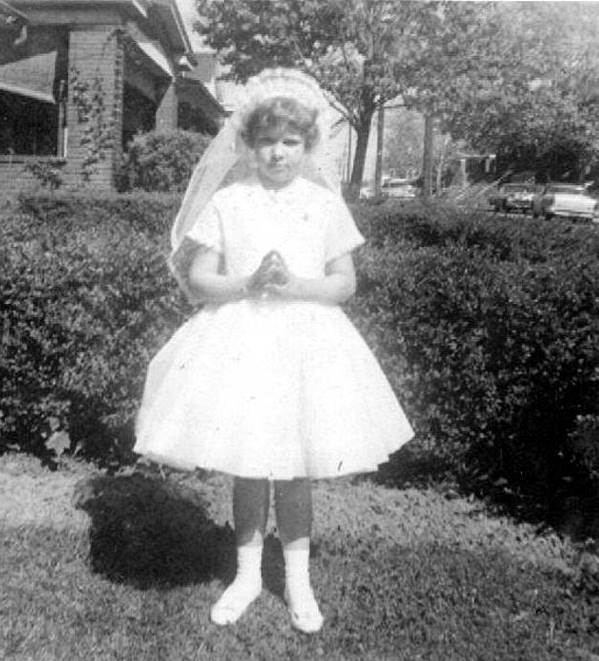 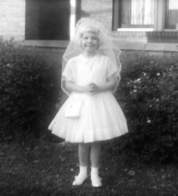
Ginny Voith (left) and Dorothy Voith in their
communion dresses in 1960 and 1963, respectively.
 
Ray Voith's cousin Ed Choby Jr. in 1944 (left) and
Cathy Voith in her communion dress in 1966.
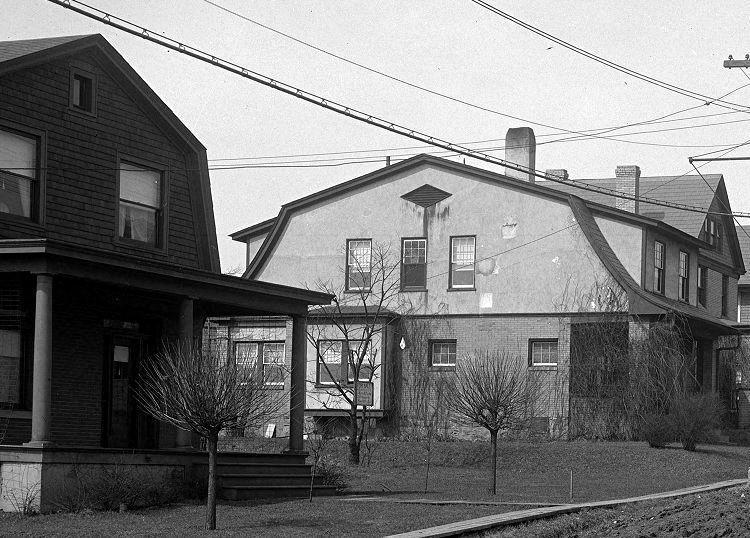
Franum Street
Homes on Franum Street, along Saw Mill Run
Creek, in 1919. This is near the present-day location of Volpatt Tile.
Fortuna Avenue

Homes along Fortuna Avenue near the intersection
with Sussex Avenue on April 5, 1933.

The rear of a home along Fortuna Avenue, near the
intersection with Sussex Avenue, on April 5, 1933.
Behind the home is a garage that sits along the alley, known as Acme Way.
Freedom Avenue
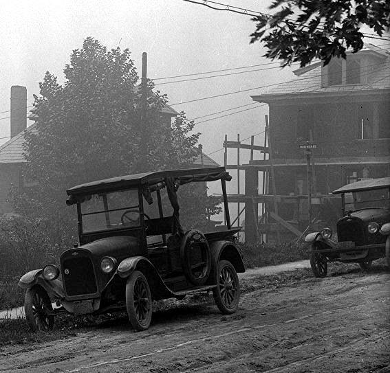 
Automobiles are parked along Freedom Avenue, near
Wareman (left), and the intersection of Freedom and
Berkshire,in 1924. A new home is being constructed along Wareman Avenue in the photo
to the left,
and on the right side are two people hanging a blanket on the clothes line
to dry.
 
A Wareman Avenue home, as seen from Freedom
Avenue (left), and the intersection of Freedom and Woodbourne, in 1924.

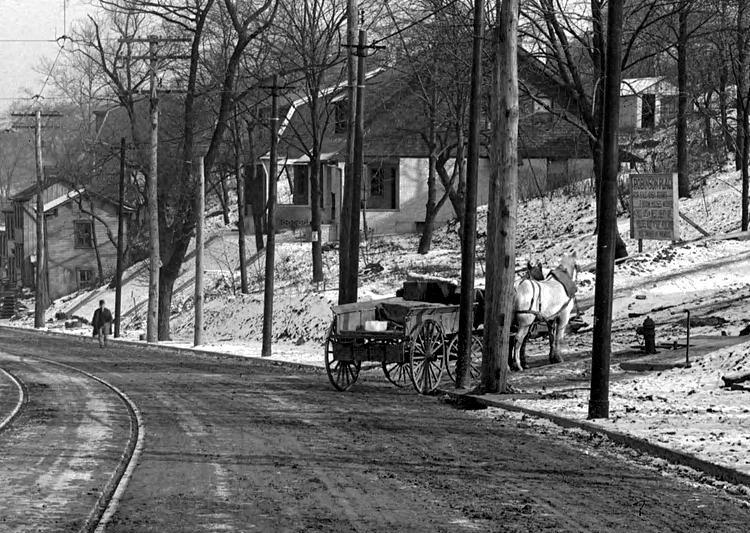
A horse-drawn wagon, loaded with coal, stands
at the intersection of Freedom Avenue and Merrick Avenue in 1924.
Brookline Random Street Scenes (Gallion to Woodward) |