|
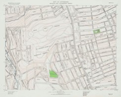
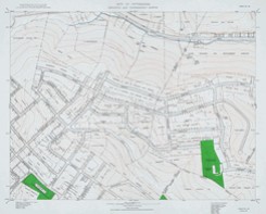
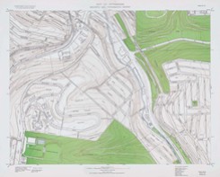
The following map sections make up a detailed geodetic and topographic look at the Brookline community and the perimeter areas. These maps were prepared by the City of Pittsburgh Department of Planning staff from 1927 through 1951, with some revisions made in 1955. Relief is shown by contours and spot heights. In addition to contour data, these survey maps depict streets, buildings, churches, institutions, cemeteries, parks, schools, railroads, bridges, tunnels, ponds, streams, development plans, and various landmarks. In terms of elevation, the highest point in Brookline is 1275 feet above sea level along Creedmoor Avenue, between Oakridge Street and Freedom Avenue. The lowest point is at the lower end of Pioneer Avenue and along the Saw Mill Run Corridor, which stands at 875 feet above sea level. The individual sections below make up the numbered plates on the index map above. The maps are part of the Historic Pittsburgh Maps Collection, located in the University of Pittsburgh's online Digital Library. Click on maps for larger versions 1955 Revisions to Plate 34 and 61 |


